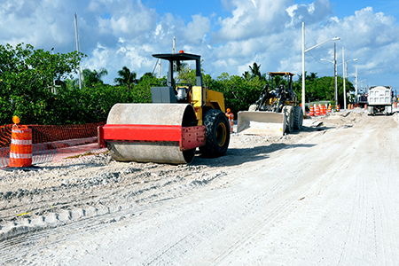
With all of the road construction going on within Johnson County, including I65 and the coming of I69, I couldn’t help but notice an article from an old issue of “Nostalgic News” about Indiana roads. Finding passable roads during the early and mid-1800s in Indiana could be a daunting task. Substantial amounts of rain could turn a road into a muddy quagmire causing a wagon to sink up to its hubs.
In 1847, Johnson County decided to build a Turnpike in hopes of creating a more passable road, connecting Franklin to Martinsville, with construction beginning in April 1849. The idea was to make it a plank road, which supposedly could carry heavier loads better than gravel or macadamized roads. The route of the road went by way of the Bluffs on White River through Mooresville and Waverly.
“Instructions for building such roads were recorded as follows: ‘Lay out the intended lane with great care to avoid steep inclinations, never ascending more than 1 foot in going 30 or 40, and winding many feet around rather than go up one (That probably explains the many curves on [State] Road 44.)’”
“Grade the road-bed wide enough for two wagon tracks, but plank only one, and that on the right hand side coming toward the city, for teams generally come in heavy and go out light…Lay down flat wise two stringers, (supports to carry the track) 12 times three, 4 feet apart, centre to centre. Imbed them well in the earth; across them, at right angles, lay three-inch hemlock planks, 8 feet long. Pack the earth track toward the ditches which should be wide and deep, and your Plank Road is made.”
The total cost of the project for Martinsville to Franklin was $56,000, estimating about $2,000 per mile. Stockholders were repaid by the creation of tollhouses that were erected at various locations along the route. Charges were based on the type of vehicle or animal traveling on the road:
“A four wheeled carriage or wagon drawn by one horse was 9 cents, for every horse or animal in addition, 3 cents; a sleigh or sled drawn by one horse, 6 cents; for each horse, mule or ass, six months and upward, led or driven, 2 cents; for every horse or mule or rider, 2 cents; for every head of cattle and every head of sheep or swine, 3 1/2 cents.”
A toll road was later constructed between Nineveh and Franklin and located at the dead end where the Ramsey addition begins on the Nineveh-Airport Road. Apparently, people discovered a way to circumvent the tollhouse by using the road to the crossroads 1 mile south of it, and from there would cross over to the Mauxferry Road. Someone once said that the county employed a young girl (for 15 cents a day) to stand out in the crossroads and block it, forcing people to travel the route to the tollhouse in order to pay the toll.
Vandiver, Verne. "The Way Things Used to Be." Nostalgic News (Apr. 1981): 26. Print.


